[ Project ]
Moore’s Creek
The Sourland Conservancy, Mercer County Park Commission and AmeriCorps NJ Watershed Ambassador Program partnered on a riparian restoration project that was funded by a grant from The Watershed Institute and The New Jersey Nature Conservancy. The restoration project took place along Moores Creek, near Howell Living History Farm, in the Sourland Mountain region.
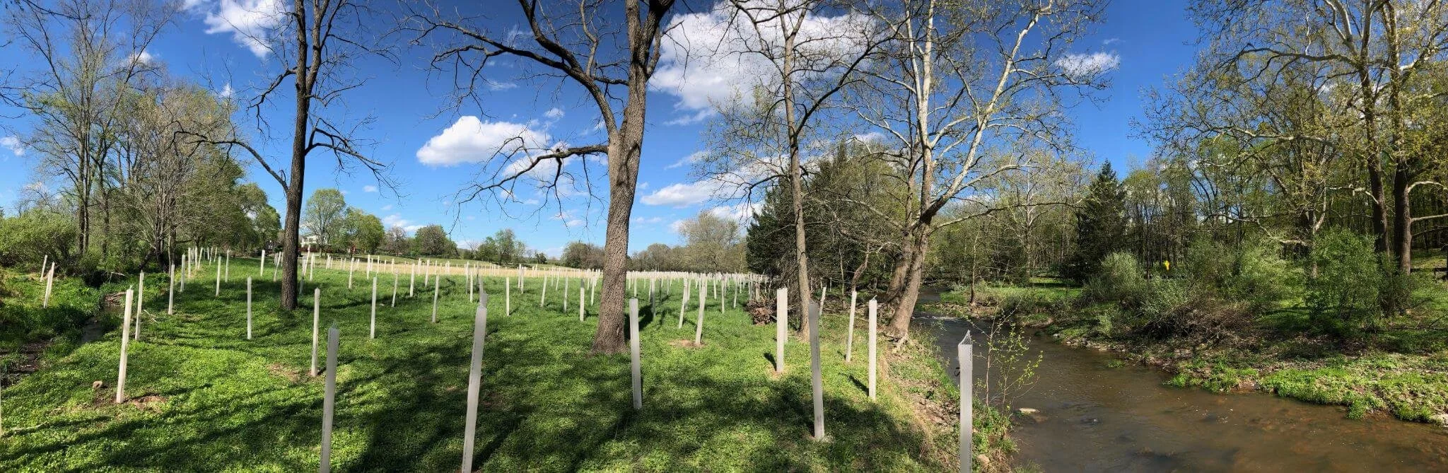
A riparian zone is the area between a river and the land
This area typically floods when there have been heavy rains or snow melt, and the path of a river can change as well as the riparian zone.
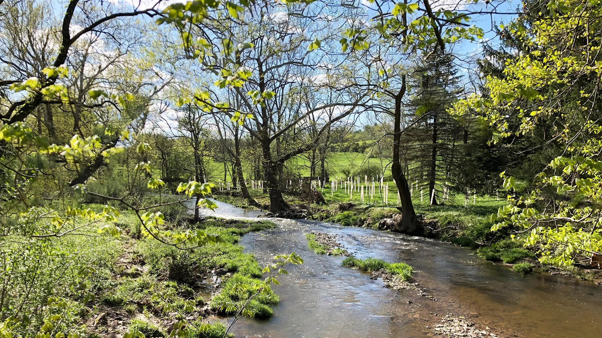
Riparian zones or buffers, are important for many reasons

A riparian buffer that has established trees and other woody plants will have extensive root systems that will hold soil during flooding events and reduce erosion.
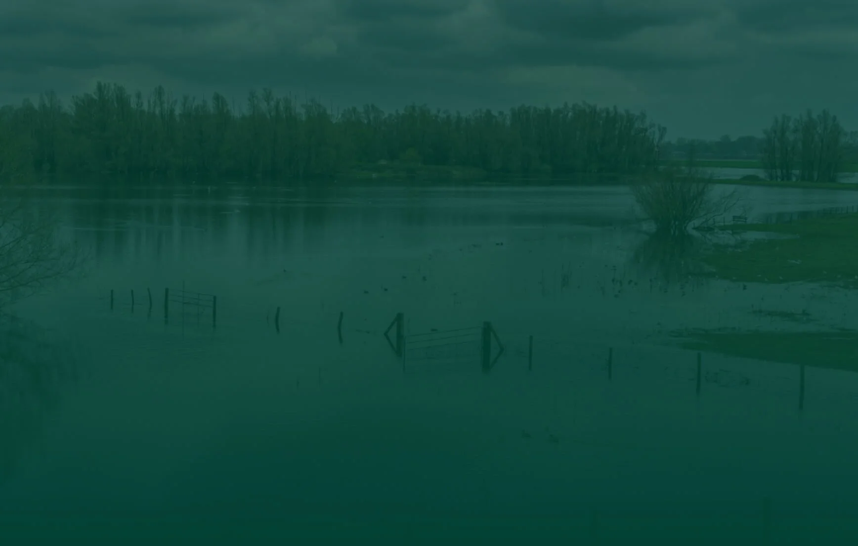
Erosion can have devastating impacts on both aquatic and terrestrial species.

Because when stream banks erode, there is a loss of habitat for terrestrial organisms, and stream’s flow is impacted.
Volunteer Opportunities